
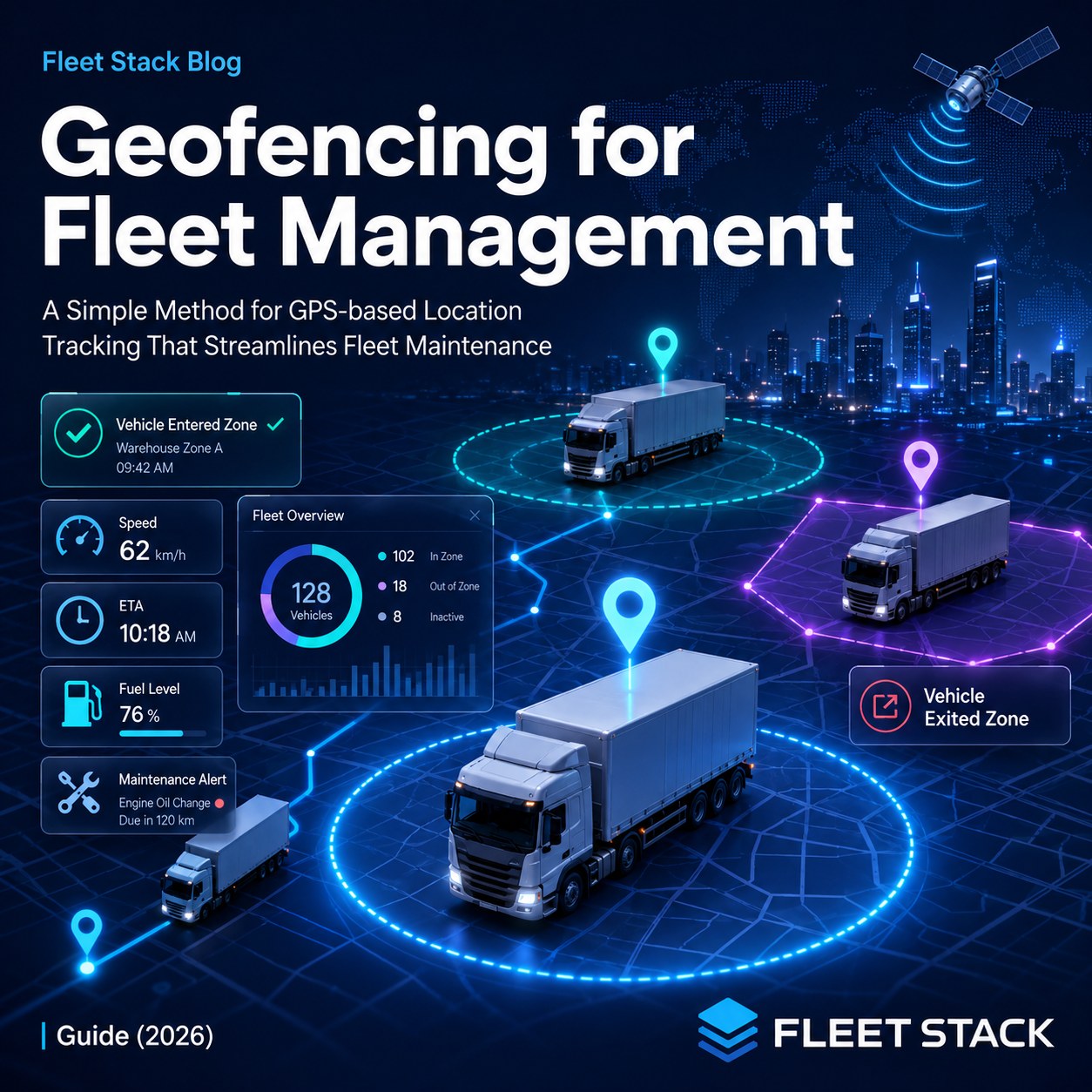
Understand the concept of Geofencing in Fleet Management.
Geofencing in fleet management is a virtual fence that you create on a map around a real location such as a depot, customer location, or no-go zone. The system automatically starts or stops when one of your vehicles comes into or goes out of that zone. Notifies you immediately. It also has GPS technology that enables it to recognize the vehicle's location. Once it is, it compares that to the boundaries placed. This turns a plain map into an active tool. Rather than watching a screen all day, you get a message when a vehicle crosses a line of significance. Fleets use geofencing to track if stolen after hours or after arriving at customer location, avoid entering restricted areas, vehicles and log site visitors. The outcome is 100% true. Fleets have seen reductions as high as 74 percent in the first month of unauthorised vehicle use, and lower fuel costs and fewer accidents. One of the most useful tools that were built, in addition to GPS tracking.
Key takeaways
- A geofence is a virtual boundary that informs you when a vehicle enters or leaves.
- Up to 74 percent fewer unauthorised uses are reported in the first month by fleets.
- Most vehicle theft occurs between 10 pm and 4 am. It is quickly caught by alerts.
- Geofencing is accurate to within just 10 metres or less in open areas with modern geofencing.
What is Geofencing?
It's a straightforward concept, and works with GPS data you might already have.
- You draw a zone. A mark that is circle or shape around a place on the map.
- You set a rule. Notify me when the car enters, goes out or both.
- The system watches. It monitors each vehicle's GPS to your zones, 24/7.
- You get an alert. Push or SMS when a vehicle passes the line.
This is an extension of your GPS tracking data. The complete feature set is available on the FleetStack geofencing page.
Common Geofencing Features
A modern geofence software adds so much more than a mere boundary. If you're researching fleet geofencing software, this is the features you should check out.
- Shapes: Circular and polygon geofences, to create a zone that fits any site.
- Entry/exit alerts, the building block of any geofence monitoring system.
- Dwell-time monitoring, which will measure the time a vehicle is in a zone.
- Traffic delay reports, to notify drivers of potential delays.
- Driver notifications to warn driver, not the office.
- Not just vehicles: Asset geofencing to help safeguard trailers and equipment.
- Historical geofence reporting for billing, audits and reviews.
- Mobile push notifications – so alerts get to your mobile anywhere.
- Email and SMS alerts, for the important events.
- A geofence event can automatically start a workflow, creating a log or a task.
The vehicle geofencing and geofence tracking work in with a live map, which is made possible by good GPS geofencing software. The background is automatically adjusted when you don't do anything else.
There are several types of geofences used in fleet management.
Geofencing is not a single feature. Meets several actual problems, each with its own zone of its own.
This is a type of a geofence, or diagram of a geofence.
| Geofence type | Where you use it | What it does |
| Depot geofence | Your HQ, yard, or parking | Alerts on movement after hours (theft) |
| Customer site geofence | Around the customer's premises | Collects and stores key client logs |
| Restricted zone geofence | Prohibited or unsafe areas | Alerts drivers and warns them prior to entry |
| Route corridor geofence | The approved route | Flags a vehicle that goes off the approved route |
| Fuel station geofence | Approved fuel stations | Catches fuelling elsewhere |
Depot Geofences
They track activity at your headquarters, yards and parking areas. The majority of car theft occurs between 10pm and 4am. A depot geofence flags signs of movement in those hours as soon as it happens so you respond. Not the next morning but minutes.
Customer Site Geofences
The exact arrival and leave time is recorded within a zone, which is set up around a customer site. In addition to confirming time on the job, it resolves billing disputes and also can cause a "driver is nearby" message to the customer. Complements proof of delivery.
Restricted Zone Geofences
Road closures can be designated as no-go areas due to low bridges, weight restrictions on roads, and unsafe areas. A warning is given to a driver prior to entry, avoiding fines and damage.
Route Corridor Geofences
A corridor along the approved route marks any vehicle that leaves the corridor. Maintains drivers' routes and reduces unnecessary detours.
Fuel Station Geofences
A buffer zone prevents fueling at the incorrect location around approved fuel stations. Combined with fuel data it helps prevent misuse of fuel cards. This is linked to fuel management.
What is the accuracy of geofencing?
This is important and this is the truthful answer. Modern fleet geofencing is accurate to within less than 10 metres in open conditions; this is sufficient for depots, customer sites, fuel stops, and route checks.
It may lose accuracy in crowded urban areas, tunnels and underground parking facilities when buildings are tall enough to obscure part of the sky. There, it can vary by 15 to 30 metres for a short time.
Good systems handle this by employing slightly larger zones in tricky areas. Waits until the vehicle receives a clear signal then returns.
So What is the ROI of Fleet Geofencing?
The improvements are reflected in security, cost and admin time. Here is what fleets report in 2026, from industry data.
| Benefit | Typical impact |
| Unauthorised use | Dropped by as high as 74% in the first month |
| Fuel cost savings | 10-20% |
| Route adherence | Better adherence to the driving route by the driver |
| Theft recovery | Faster response, minutes not hours |
| Attendance and action logs | Automatic, with no manual effort required |
The greatest single victory is after-hours control. Unauthorized trips will diminish rapidly if boundary is monitored.
The fuel and accident gains originate from the same source: vehicles stay where they should, on the routes they should. This is linked to fuel management, as if a geofence surrounds authorized fuel stations, it catches misuse.
Geofencing vs GPS Tracking
These are frequently confused, so here's the hard line. GPS tracking displays the location of a vehicle. Geofencing informs you when a car is near you.
The location layer is the GPS. Geofencing is a layer that is active and built on top of it. It's not necessary to spend the whole day looking at a map. The system watches you and notifies you of anything that needs attention.
| Feature | GPS tracking | Geofencing |
| Uses internet to identify a location | Yes | Yes |
| Automated alerts | No | Yes |
| Theft alerts | Limited | Yes |
| Route compliance | Limited | Yes/No |
| Site visit verification | No | Yes |
Who should use Geofencing?
It's a solution that's useful for any fleet that has an interest in where their vehicles travel. It is most valuable for:
- Construction: protect equipment, bring alerts to if assets leave the compound.
- Trucking and logistics: to log dock arrivals and cut detention time.
- Delivery fleets: to communicate with customers and validate end-of-line areas.
- Monitor access to remote or hazardous areas: Oil, gas, and energy.
- Rental fleets: to ensure that the area limits are followed and that cross-border trips are recorded.
For instance, Amber Logistics Fleet implements geofencing. Amber logistics runs trucks in multiple warehouses and customer distribution centres. Virtual geofences identify when a truck enters or leaves each location. The operations team gets visibility, security and delivery performance with no additional calls.
This type of fleet can expect the following benefits:
- Automatic arrivals/departures.
- Reduced manual driver check-in calls.
- Real-time alerts when vehicles are moving in an unauthorised fashion.
- Dwell-time monitoring at Customer locations.
- Improved response to delays and route changes.
- Improved security with after hours depot notifications.
- Correct trip documentation for billing and reporting.
- Faster and more efficient operations with automatic monitoring.
The trend is evident. The geofence is the watch dog and the team can respond to the exception rather than watch each vehicle by hand.
Frequently Asked Questions
What is Geofencing in Fleet Management?
It is an imaginary line that is drawn on a map of an actual location. If a car enters or exits the zone, then an alert is generated by the system, which uses GPS to compare each vehicle to your boundaries.
How does a geofence work?
You circle a site and then place a marker. Apply for entry, exit or both. The system monitors all vehicles' GPS. The anti-intrusion feature alerts you when a car crosses your zones.
What's the accuracy of fleet geofencing?
Modern systems can achieve an accuracy of less than 10 metres in open areas. In cities with high density, tunnels or under the ground for a short period, accuracy can be as low as 15 to 30 metres.
Is it possible to stop car theft with geofencing?
Yes. Theft usually occurs during the night. Once you move out of the depot, an after hours geofence will immediately alert you, so respond in minutes. A fleet can report up to 74 per cent fewer unauthorised use for the first month only.
What's the difference between geofencing and GPS tracking?
GPS tracking demonstrates the location of a vehicle. Geofencing can provide an alert layer to inform you when a car crosses a boundary you don't care about, without you watching the map.
So, what are the legal considerations for fleets in relation to geofencing?
Indeed, it is legal to track vehicles belonging to geofencing companies for fleet management. As with all tracking, follow the local privacy laws and to inform drivers of their surveillance.
How many geofences will I be able to create?
Most of the modern systems allow you to create many geofences, frequently with no limit for higher plans. You can provide protection for all depots, customer sites and restricted areas that need it.
Can geofencing be used without the Internet?
The device continues to track the GPS. If you are in an area with no cell service available, it stores geofence events, then sends alerts as soon as it reconnects. Live alerts can now be received when the connection returns.
Is it possible to monitor trailers and assets with geofencing?
Yes. Having an asset tracker equipped, you can create geofences for trailers, containers and equipment, not only vehicles, but also have entry and exit alerts.
Is geofencing possible to send SMS alerts?
Yes. The most effective geofence software sends out notifications to users. Alerts delivered via mobile push, e-mail and SMS – the right person hears an immediate warning for an event.
The Bottom Line
Now your map is not just a map, but a thing that keeps watch over you with geofencing. You mark an area around a location, set a rule and receive an alert when a vehicle crosses the line.
The outcomes are established: a lot less unauthorized use, quicker theft, lower fuel costs, automatic site logs, and faster response. One of the simplest means to include control is through GPS tracking, known as geofencing. It adds no work and requires no compromise on safety and security to a fleet.
Need to create your first geofence in minutes? FleetStack enables you to set, on top of live GPS tracking, zones, rules and instant alerts. Start a free trial.
Read: GPS fleet tracking systems and live fleet tracking · Fleet fuel management · FleetStack geofencing.
Data sourced from 2026 fleet geofencing industry guides and deployment data: up to 74% reduction in unauthorised use in the first month, 15 to 20 percent fuel savings, up to 25 percent fewer accidents, theft peak 10pm to 4am; AIS-140 and NavIC device accuracy data (under 10 metres in the open, 15-30 metres in dense areas). Figures are industry ranges and will differ from fleet to fleet, region to region and conditions.
0 Comments
No comments yet. Be the first to comment!
Please to post a comment